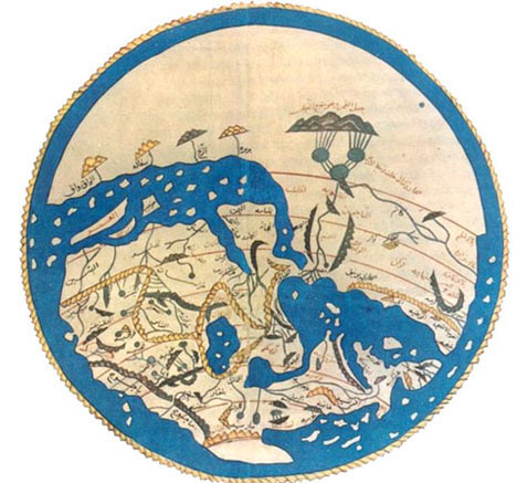
“Medieval & Early Modern Cartography: An Introduction”
Mediterranean Studies Summer Skills Seminar
22–25 June 2026 • Remote

The Summer Skills Seminar, “Medieval & Early Modern Cartography: An Introduction” will be held via Zoom from Monday, 22 June to Thursday, 25 June 2026 from 10am to noon and 1pm to 3pm MDT.
Course overview
Course sessions:
Day One will set the stage for an in-depth analysis of cartographic works by asking the question “What does it mean to make a map in the medieval and early modern Mediterranean?” The second topic of the day will be mappaemundi or world maps. These maps constitute some of the earliest cartographic works created in the Mediterranean in both Christian and Muslim traditions. Their close connection to religious communities (as both producers and consumers), spatio-temporal qualities, rich visual imagery, and their melding of religious content and geographical information made them powerful storytelling tools. We will conduct contextual analyses of several world maps to assess the cultural work that maps could perform for an array of patrons and audiences. The availability of digital reproductions of these complex maps will allow course participants to analyze the detailed textual and visual content presented in these cartographic works. We will study a number of world maps, including the Hereford Mappamundi, Fra Mauro’s Mappamundi, and al-Idrisi’s map made for Roger II.
Day Two will focus on a revolutionary new form of mapmaking created during a pivotal moment in the history of cartography: portolan charts and texts from the late twelfth and early thirteenth centuries. Previously mapping had existed almost exclusively in the religious domain but this time period saw the formulation of new cartographic representations that were completely secular in nature and practical in function, created to gauge distances and identify ports and landmarks, while elucidating social customs in foreign locales. We will assess the relationship between navigational charts and traditional world maps while exploring how portolans forged a distinctive visuality for a new audience of mariners and merchants. Some monuments addressed in this class session will include the Carte pisane, navigational charts made by Pietro Vesconte, Abraham Cresques, etc., portolan texts such as the Liber de existencia riverarium, and the Compasso da navegare, and maps from the Fatimid Book of Curiosities.
Day Three will introduce cartographic works that served novel functions in medieval and early modern society. By the fifteenth century, secular mapmaking traditions had become so embedded into cultural practices that they were designed for a broader clientele to serve cultural and political purposes: luxury gifts, political statements, expressions of sovereignty, and displays of wealth and sophistication. We will highlight the transformation of maps into aesthetic objects of prestige that were displayed prominently in public settings. We will also look at highly politicized contexts for maps in which they lay claim to territory and visualize sovereignty in a competitive Mediterranean environment. Some works to be addressed on Day Three include Vesconte’s maps for Marin Sanudo’s Liber secretorum, maps by Opicinus de Canistris, atlases and luxury presentation maps, and painted wall maps for homes and palaces.
The second half of Day Three will comprise theoretical considerations of maps and mapmaking. We will approach the cartographic content addressed in the first three days in relation to various methodologies and new approaches to the study of cartography. How does the visual system of a map create a mapping mentality that defines how people perceive spaces, places, and things? How do maps create communities of inclusion and exclusion? How do maps mean differently depending upon one’s gender, ethnicity, occupation, and/or religious affiliation? What new approaches can scholars and students apply to the study of maps to tap their extraordinary cultural potential? We will end the course with a discussion of new directions in the study of cartography.
On Day Four we will summarize and catalyze the content presented in the first three days of the seminar. How can we characterize the field of Mediterranean cartography and what new questions might we ask of this material? What did the participants learn from the seminar and how might this content and methodology be incorporated into their own research agendas. This will be a day of dialogue and discussion concerning new directions in the study of medieval and early modern cartography.
Past Participants said:
“This seminar more than exceeded my expectations and goals. Professor Mathews is on the cutting edge of thinking about issues regarding medieval and early modern cartography from an art historical perspective, including her work in digital mapping.”
“The class was very helpful and gave me the footing I was seeking to think more carefully on a history of cartography. It was a quick immersion in key scholarship and the instructor provided thoughtful and well-guided discussion on narrow and broad topics within cartography.”
“Now with the materials provided, I have a roadmap to follow in my future studies. Understanding milestones, prominent figures, paradigms and paying attention to "what we can pay attention to" in cartography were extremely helpful for me.”
“The course was extremely well designed to introduce specific works of mapping from differing cultural traditions. Professor Mathews offered theoretical and historical context for these works, and she consistently raised the level of interpretation. Importantly, she was comfortable with the fact that there are no easy answers in understanding some of these early maps.'“
“I enjoyed participating in the workshop, hearing from other scholars with different levels of experience in this research area, viewing the numerous mapping examples from the time period, etc. It was a stimulating class that prompted stimulating discussion.”
“I have found Professor Mathews's published research both inspiring and helpful in thinking about my own studies, and the insights and reflections she shared from her current research were very exciting and relevant to my own work.”
“Not only do I have readings (new to me) that I plan on integrating into my Medieval Mediterranean survey, but I also can imagine teaching one of the units on a "Mediterranean way of seeing."
“I learned to think about art in a deeper way. I plan to incorporate what I learned into my own courses by asking Mediterranean questions related to the art work that we study.”
“In just four days Professor Mathews covered a lot of ground and provided a rich syllabus; she took a collaborative approach and participants were able to add bibliographic sources to the drop box folder.”
“Wonderful course and professor. Left me wanting more!”
“This was an intense immersion in Mediterranean topics, with excellent readings and guided questions.”
“Karen was very skilled at turning comments and questions from the participants into teachable moments. The range and depth of her knowledge were easily apparent.”
“The professor was excellent. Karen Mathews was well-prepared and thoughtfully selected the readings and the material that was covered. She was attentive to every student in the course.”
“The course was very well organized, and I especially appreciated the opportunity to discuss ideas with scholars and enthusiasts from a wide range of disciplinary backgrounds and research interests. The diversity of perspectives enriched every conversation and created a genuinely stimulating intellectual environment. It was an immensely rewarding experience.”
“Prof. Matthews did an EXCELLENT job of providing the most up-to-date materials, setting clear daily goals and providing daily readings and overviews in advance, and in keeping the class well-paced and on-track. She's not only a wealth of information and a valuable scholarly resource, herself, but offered an excellent example for how to run a class.”
“Take this course if you are new to learning about cartography or if you are well experienced in it. In both cases, you will learn a great deal in Prof. Matthews' course and come away with excellent resources from which to continue to build your knowledge.”
“Karen Mathews put together a very well-organized and informative seminar on cartography, providing all the tools for my future research.
“This was a fabulous course. Karen is an exceptional academic and teacher, and provided a rich corpus of materials to analyze. I would highly recommend it to anyone interested in the topic. “
Faculty

The course will be conducted by Prof. Karen Rose Mathews (Department of Art and Art History, University of Miami). She received her B.A. in Art History from UCLA and a M.A. and Ph.D. in Art History from the University of Chicago. She has received grants from the Graham Foundation, Kress Foundation, Program for Cultural Cooperation, and the American Research Center in Egypt in support of her research. She published Conflict, Commerce, and an Aesthetic of Appropriation in the Italian Maritime Cities, 1000-1150 (Brill) in 2017 and was lead editor for the volume A Companion to Medieval Pisa (Brill, 2022). Her numerous articles focus on various aspects of medieval Mediterranean visual culture, with a particular emphasis on artistic production in Spain, Italy, and Egypt, including a comparative assessment of civic ceremonial and its architectural framing published in 2025. She has been conducting research on Mediterranean cartography since 2015. An article published in 2022, “Mapping, Materiality, and Merchant Culture in Medieval Italy, 1150-1400,” studies the relationship between cartography, architectural decoration, and new visual systems in the Italian maritime republics. Two more articles in preparation assess Islamic and Christian cartographic traditions in terms of their use in navigation, the perspective they provide on the Mediterranean, and their creation of a new visual vocabulary of signs.
Program
Monday, 22 June 2026: Introduction and Mappaemundi
10am—noon & 1—3pm
1. Introduction to cartographic visuality
2. Mappaemundi—Patrons, audiences, and storytelling potential
Tuesday, 23 June 2026: Portolan Charts and Text
10am—noon & 1—3pm
1. Secular mapmaking traditions—function and audience
2. Relationship of portolans to traditional world maps
Wednesday, 24 June 2026: Maps as Art and Novel Uses for Cartographic Works
10am—noon & 1—3pm
1. Shift from functional to aesthetic objects
2. Novel uses for navigational charts and world maps
Thursday, 25 June 2026: Cartography as a Visual System: Methdologies and New Directions
10am—noon & 1—3pm
1. Defining a new visual system in maps
2. New approaches to medieval and early modern cartography
Participants:
Bradley Barrett (History: University of Illinois Urbana-Champaign)
I received my bachelors degrees in history, philosophy, and general studies at Texas Tech. Ī am currently a PhD student in the history department at the University of Illinois Urbana-Champaign where I focus on cultural diffusion, borderlands, and material culture in the medieval North Atlantic.
Wes Brown (independent)
Wes Brown has been a collector and student of old maps for fifty years with special interest in the exploration and settlement of the West and Colorado from the 16th through 20th centuries. A Denver resident, he co-founded the Rocky Mountain Map Society in 1991 that continues a monthly lecture program to this day. Wes has served as the Co-Chairman of the national map and geography society of the Library of Congress and is currently a board member of the International Map Collectors Society and the Society for the History of Discoveries. He is a frequent speaker at map and history conferences and has published about 20 papers on maps in various map related journals. Wes fell in love with maps at age 16 using U.S. Geological Survey maps for climbing mountains. He has a MBA from the University of Chicago and BS from the University of Colorado.
Erica Ferg (Religious Studies: Regis University)
I am researching the wax seal that authenticated the 1530 Deed of Donation of the Islands of Malta. My current thesis is that the choice of the “mounted vanquisher” imagery on the Seal to the Deed was deliberate, politically relevant, and directly tied to the martial context in which the Deed was issued. I am also writing a short paper about the shift of the capital city of Malta from Mdina to Valletta, for which I am making use of a few medieval maps. I am also writing a maps course (called “Maps: How We Shape Our Worlds”) that will be taught in spring 2027. I'd like to know more about medieval maps and mapmaking for the course I'm writing and for my current research projects relating to Malta.
Lisa Lillie (History: University of Notre Dame)
Lisa Lillie is a social historian of early modern Europe and the Mediterranean, with a particular focus on Renaissance and early modern Tuscany. She is interested in maritime history and the commercial and social lives of pirates, merchants, and the enslaved. Her manuscript-in-progress, The Medici and the Middle Sea: Piracy, Slavery, and Commerce in Early Modern Tuscany, 1537-1737, demonstrates how the Medici transformed the port of Livorno into one of the Mediterranean’s foremost auction houses for goods, ships, and peoples seized through corsairing and piracy, making slavery and commerce twin conerstones of an emerging Tuscan empire. She has taught courses on the global history of piracy, the Medici and Renaissance Europe, and early modern empires.
Professor Lillie’s research has been funded by the Mellon Foundation, the American Society for Eighteenth Century Studies, and the Joint Center for History and Economics at Harvard University & the University of Cambridge. She has lived and worked in Tuscany and France, holding appointments at the Galileo Museum in Florence and the École Pratique des Hautes Études in Paris.
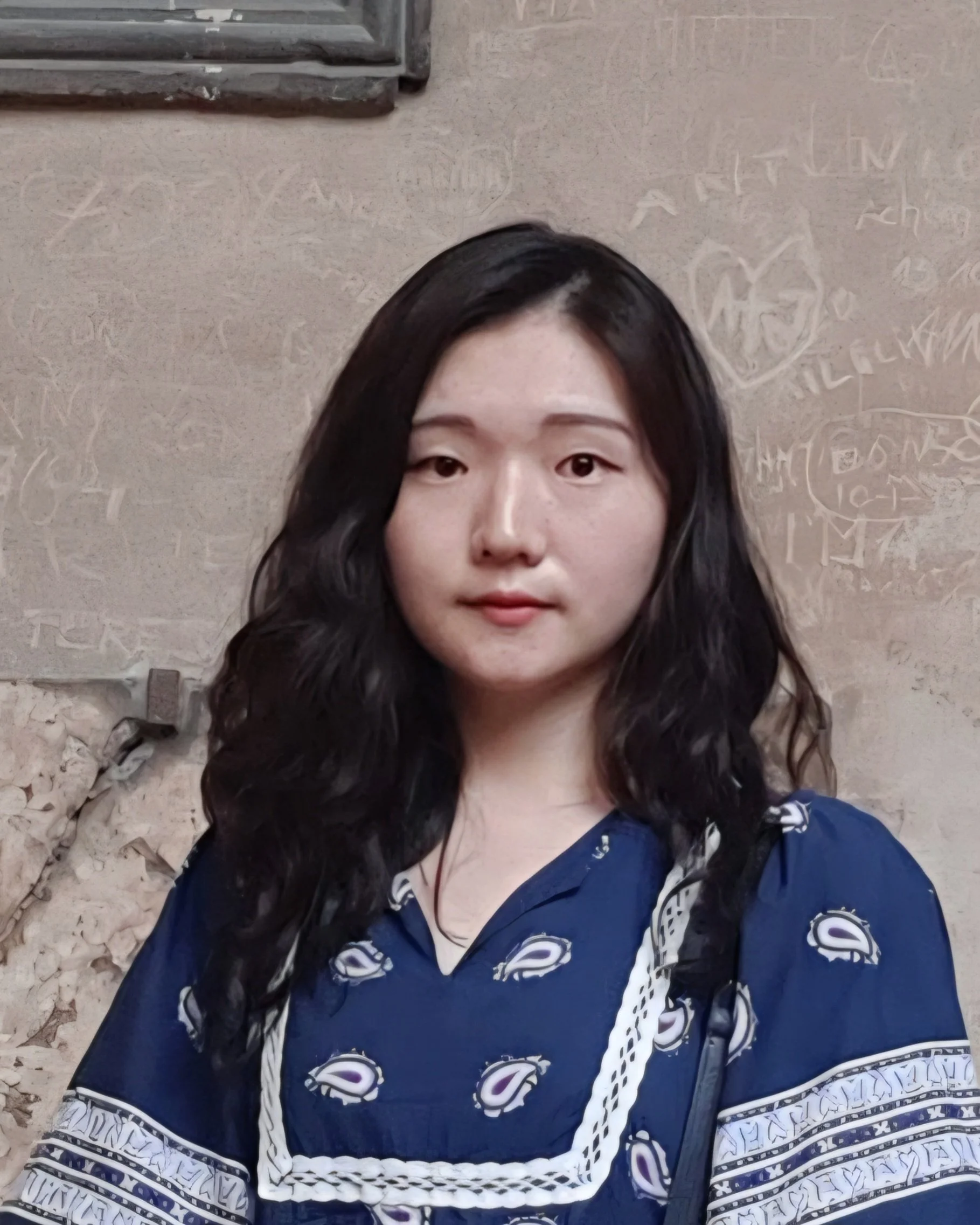
Jeon Minsoo (History: Columbia University)
Jeon Minsoo is a cultural and intellectual historian of the fifteenth-century Ottoman Empire. A rising fourth-year PhD student in the Department of History at Columbia University, she is currently preparing a dissertation that examines the geographical thinking and practices of fifteenth-century Ottomans, particularly how they conceptualized Rūm and claimed it as their own. Minsoo explores this development through its possible connections to Mongol geographical and historiographical traditions. Prior to pursuing her PhD at Columbia, Minsoo received an MA in Near Eastern Languages and Civilization from the University of Washington and a BA in Western History from Yonsei University.
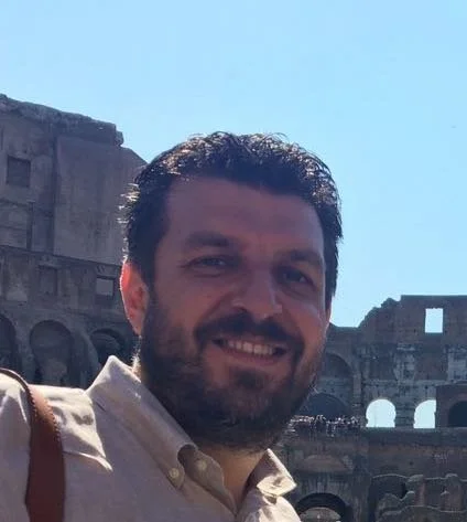
Roberto Pesce (Italian: University of Oklahoma)
Roberto Pesce is Associate Professor of Italian at the University of Oklahoma. His research focuses on medieval literature in Latin, Italian vernacular, and Franco-Italian, particularly works produced in Venice and the Veneto region. He specializes in historiographical writings from the 13th and 14th centuries. His critical editions of Marino Sanudo Torsello’s Conditiones Terrae Sanctae and Paulinus of Venice’s Tractatus de Diis Gentium et Fabulis Poetarum are forthcoming. His current projects include two new critical editions: Paulinus’s De Regimine Rectoris, in Venetian vernacular, and Marino Sanudo Torsello’s Secreta Fidelium Crucis.
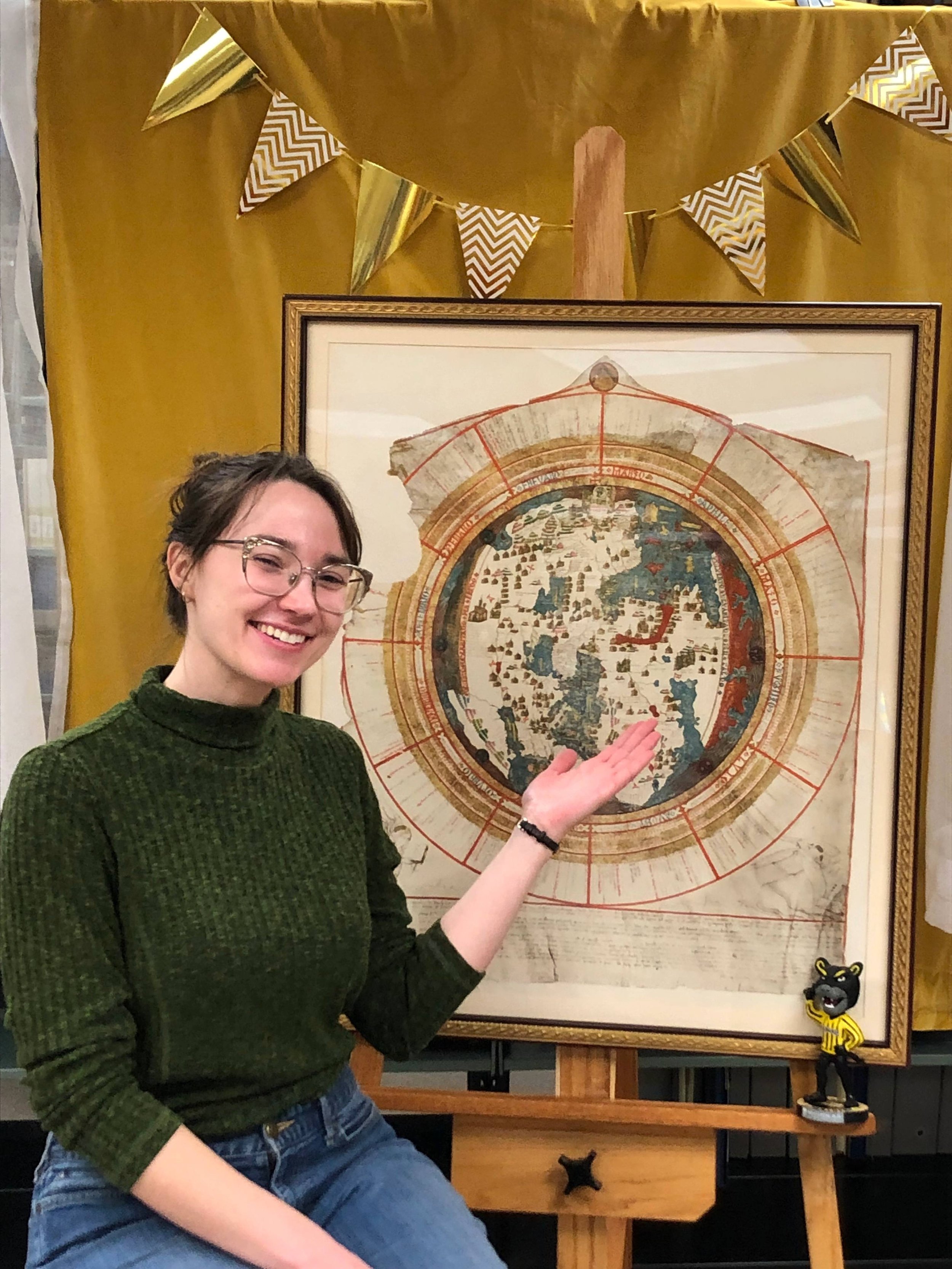
Anna Rohl (Library: University of Michigan)
Anna Rohl is Map Curator at the University of Michigan Library. She has a Masters in Library Information Science and an MA in History from the University of Wisconsin-Milwaukee. While studying there, she worked at the American Geographical Society Library, the second largest cartographic collection in the US. She is currently researching 20th-century pictorial campus maps made by alumnae of the schools depicted.
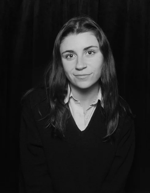
Rachel Salem-Wiseman (History of Art: University of Pennsylvania)
Rachel is a third year PhD student at the University of Pennsylvania in the History of Art department. She completed her master’s degree at the Bard Graduate Center in decorative arts, design history, and material culture, after receiving an undergraduate degree, majoring in Art History, at Queen’s University. Rachel’s research considers the ephemeral, and largely female, labor that was responsible for creating the sumptuous garments and accessories that were prevalent throughout early modern Europe. Her research considers closely both the print and painted depictions of this labor. Through archival research, and engaging first-hand with these prints and paintings, Rachel hopes to reveal the experiences and elite craftsmanship of these laborers within the textile industry in the early modern European world, unravelling the layered meanings of these garments while foregrounding the lives of those who constructed them

Yuzhu Wang (History of Art: Bryn Mawr College)
I’m a fourth-year PhD student in the Department of History of Art at Bryn Mawr College. My research focuses on medieval Buddhist art along the Silk Road and Chinese funerary art. I am currently preparing for my preliminary examinations and developing my dissertation prospectus on the Dunhuang Buddhist caves, focusing on the depiction of landscape elements and the role of artistic agency in shaping sacred visual space.